
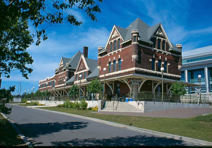
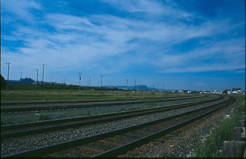
Stations and Stops
Throughout its history, the P.A.D & W had many different stations and stops along its 92 miles of tracks. This list represents a combined list that would have been in operation at different times between 1893 and 1938.
| Mileage | Station, Siding or Stop | Features | Elevation (ft.) |
| 0 | Port Arthur | Tank | 615 |
| 3 | Fort William | 613 | |
| 6 | Westfort | 632 | |
| 11.8 | Twin City Junction | 732 | |
| 13 | Slate River (Rosslyn 1904) | 727 | |
| 19 | Stanley (Stanley Junction 1902) | Tank | 720 |
| 22 | Harstone | 745 | |
| 25 | Flint | 780 | |
| 26.4 | Silver Creek | 807 | |
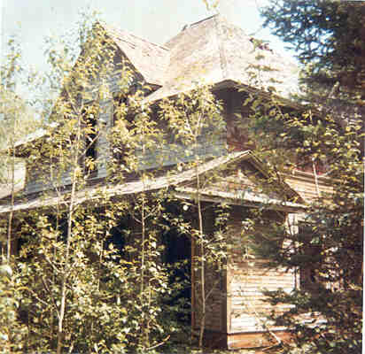
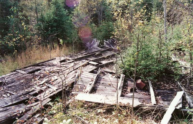
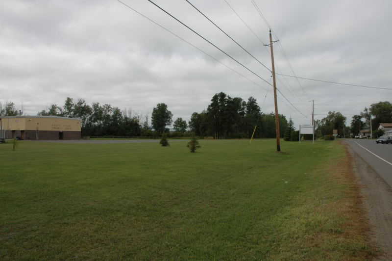
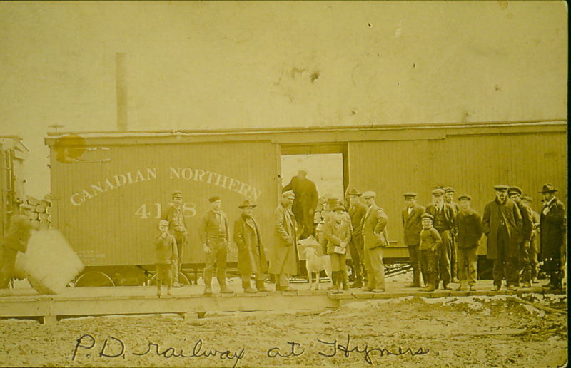
| 28.4 | Murdoch (Hymers) | 877 | |
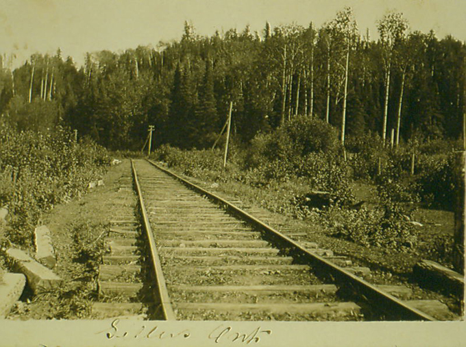
| 30.5 | Sellers | 913 | |
| 31.3 | Leeper | 1000 | |
| 34.1 | Nolalu | 1055 | |
| 35.9 | Hillside | 1096 | |
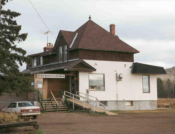
| 39.4 | Silver Mountain | 1282 | |
| 42.7 | Whitefish | Y* | 1348 |
| 44.4 | Wolfe (Suomi) | 1385 | |
| 47.1 | Mackies | 1445 | |
| 52 | Round/Gravel Lake | 1550 | |
| 57 | Sand Lake (Sandstone) | Tank | 1541 |
| 60 | Iron Range | 1625 | |
| 65 | Addie Lake | Tank | 1609 |
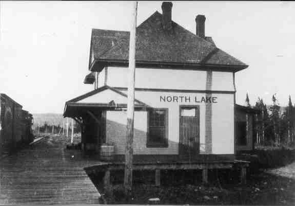
| 71 | North Lake | Coal/Y* | 1572 |
| 83 | Leeblain | 1553 | |
| 85.8 | Gunflint (Gunflint Narrows) | Coal | 1568 |
| 89.8 | Round Lake, USA (switchback) | 1750 | |
| 91 | Gunflint/ Paulson Mine | 1810 |


